
Toronto for You
Food Scene
Pho Huong
598 College StSt. Lawrence Market
93 Front St ENorth of Bombay
2996 Dundas St WBanjara Bloor
796 Bloor St WAfrican Palace
977 Bloor St WBloor Street West
Bloor Street WestTofu Village
681 Bloor St WGreat Korean food and a good setting
Vesuvio Pizzeria & Spaghetti House
3010 Dundas St WGreat food and service!
Drinks & Nightlife
Shoxs Billiard Lounge
2827 Dundas St WFamous Last Words
392 Pacific AveThe Beet Organic Kitchen & Bar
2968 Dundas St WParks & Nature
High Park Subway Station
Centre Island
Toronto Music Garden
479 Queens Quay WestHumber Bay Park
36 Park Lawn RdVery scenic spaces
Waterfront Trail
Waterfront TrailArts & Culture
Brickworks At Don Valley
King Street West
King Street Westtheatres, cafes, restaurants, shopping
St. Lawrence Market
93 Front St ERoyal Ontario Museum
100 Queens ParkGardiner Museum
111 Queens ParkCasa Loma
1 Austin TerraceShopping
Yorkdale Shopping Centre
3401 Dufferin StDufferin Mall station
The Stockyards Smokehouse & Larder
699 St Clair Ave W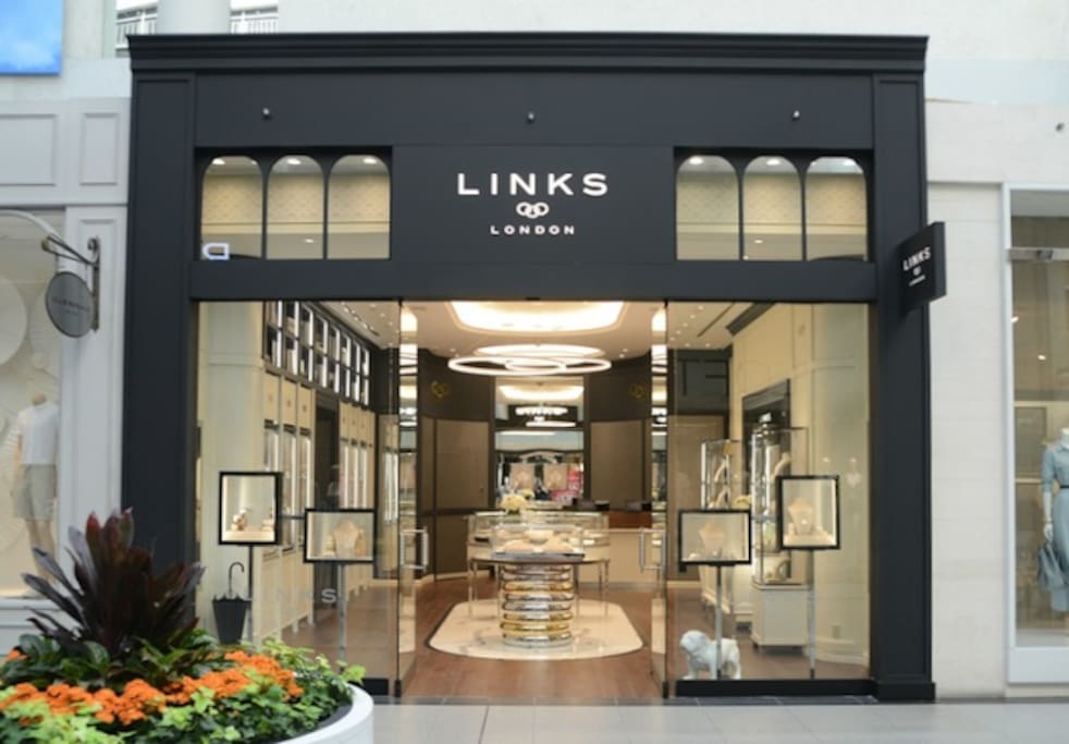
CF Toronto Eaton Centre
220 Yonge StNeighborhoods
The Junction is a neighbourhood in Toronto, Ontario, Canada, that is near the West Toronto Diamond, a junction of four railway lines in the area. The neighbourhood was previously an independent city called West Toronto, that was also its own federal electoral district until amalgamating with the city of Toronto in 1909. The main intersection of the area is Dundas Street West and Keele Street. The Stockyards is the northeastern quadrant of the neighbourhood.
Rapid gentrification has meant new chic restaurants and bars have opened up along Dundas Street, attracting young people, while lower rents make the neighbourhood appealing to artists.
113 Einheimische empfehlen
The Junction
The Junction is a neighbourhood in Toronto, Ontario, Canada, that is near the West Toronto Diamond, a junction of four railway lines in the area. The neighbourhood was previously an independent city called West Toronto, that was also its own federal electoral district until amalgamating with the city of Toronto in 1909. The main intersection of the area is Dundas Street West and Keele Street. The Stockyards is the northeastern quadrant of the neighbourhood.
Rapid gentrification has meant new chic restaurants and bars have opened up along Dundas Street, attracting young people, while lower rents make the neighbourhood appealing to artists.
Forest Hill is a neighbourhood and former village in Toronto, Ontario, Canada, located north of Downtown Toronto. The village was amalgamated into Toronto in 1967 and the area has retained its name as a neighbourhood. Along with other neighbourhoods such as The Kingsway, Rosedale, and The Bridle Path, it is one of Toronto's wealthiest and most affluent neighbourhoods. It is home to many prominent entrepreneurs, celebrities, doctors, and lawyers.
8 Einheimische empfehlen
Forest Hill
Forest Hill is a neighbourhood and former village in Toronto, Ontario, Canada, located north of Downtown Toronto. The village was amalgamated into Toronto in 1967 and the area has retained its name as a neighbourhood. Along with other neighbourhoods such as The Kingsway, Rosedale, and The Bridle Path, it is one of Toronto's wealthiest and most affluent neighbourhoods. It is home to many prominent entrepreneurs, celebrities, doctors, and lawyers.
The Distillery District is a commercial and residential district in Toronto, Ontario, Canada. Located east of downtown, it contains numerous cafés, restaurants, and shops housed within heritage buildings of the former Gooderham and Worts Distillery. The 13 acres (5.3 ha) district comprises more than forty heritage buildings and ten streets, and is the largest collection of Victorian-era industrial architecture in North America.
The district was designated a National Historic Site of Canada in 1988.
The Distillery District's traditional brick-paved streets and lanes are restricted to pedestrians and cyclists, with general motor vehicle traffic restricted to streets and parking areas outside of the district's historic centre. Several large sculptures installed along the lanes enliven its streetscapes, three being on Distillery Lane and the final one at the parking area at the end of Trinity Street. Another primary landmark is the chimney stack atop the Boiler House complex. There are informal public spaces on the pedestrianized streets with chairs and tables for general use, as well as formal patios for some of its coffee houses and restaurants.
1703 Einheimische empfehlen
Distillery Altstadt
55 Mill StThe Distillery District is a commercial and residential district in Toronto, Ontario, Canada. Located east of downtown, it contains numerous cafés, restaurants, and shops housed within heritage buildings of the former Gooderham and Worts Distillery. The 13 acres (5.3 ha) district comprises more than forty heritage buildings and ten streets, and is the largest collection of Victorian-era industrial architecture in North America.
The district was designated a National Historic Site of Canada in 1988.
The Distillery District's traditional brick-paved streets and lanes are restricted to pedestrians and cyclists, with general motor vehicle traffic restricted to streets and parking areas outside of the district's historic centre. Several large sculptures installed along the lanes enliven its streetscapes, three being on Distillery Lane and the final one at the parking area at the end of Trinity Street. Another primary landmark is the chimney stack atop the Boiler House complex. There are informal public spaces on the pedestrianized streets with chairs and tables for general use, as well as formal patios for some of its coffee houses and restaurants.
Parkdale is primarily a residential area of the city, with semi-detached homes predominating on most side streets. Many of the homes date from the 19th Century and early 20th Century. Around 1900, the area was a well-to-do suburb and many older mansions from around 1900 still exist, often converted to multi-unit buildings. Many of the residential streets have mature trees. Good examples of Victorian housing can still be found on Cowan Avenue and Dunn Avenue, south of King Street. Victorian-era row homes of Georgian Revival style with original gaslights can also be seen on Melbourne Place.
Parkdale has a higher than average amount of rental housing. Several streets, notably Jameson Avenue and Tyndall Avenue have been converted to zones of apartment buildings. The apartment buildings mostly date from the 1950s through the 1970s, and have remained rental buildings while no large condominium projects have been built west of Dufferin Street.
Parkdale's commercial districts are located on King Street and Queen Street West.
Parkdale's commercial districts are along Queen Street West from Roncesvalles in the west to Dufferin Avenue in the east, and King Street West around Dufferin Street. Queen Street West has a large proportion of restaurants and bars, as well as local shops and art galleries. Commercial space is mostly storefronts oriented toward local customers.
The area has a lower amount of park land per resident compared to other parts of Toronto. Several streets have parkettes built since the 1960s in an initiative to increase the amount of park land in the area.
Demographically, Parkdale is mixed in income and ethnicity.
64 Einheimische empfehlen
Parkdale
Parkdale is primarily a residential area of the city, with semi-detached homes predominating on most side streets. Many of the homes date from the 19th Century and early 20th Century. Around 1900, the area was a well-to-do suburb and many older mansions from around 1900 still exist, often converted to multi-unit buildings. Many of the residential streets have mature trees. Good examples of Victorian housing can still be found on Cowan Avenue and Dunn Avenue, south of King Street. Victorian-era row homes of Georgian Revival style with original gaslights can also be seen on Melbourne Place.
Parkdale has a higher than average amount of rental housing. Several streets, notably Jameson Avenue and Tyndall Avenue have been converted to zones of apartment buildings. The apartment buildings mostly date from the 1950s through the 1970s, and have remained rental buildings while no large condominium projects have been built west of Dufferin Street.
Parkdale's commercial districts are located on King Street and Queen Street West.
Parkdale's commercial districts are along Queen Street West from Roncesvalles in the west to Dufferin Avenue in the east, and King Street West around Dufferin Street. Queen Street West has a large proportion of restaurants and bars, as well as local shops and art galleries. Commercial space is mostly storefronts oriented toward local customers.
The area has a lower amount of park land per resident compared to other parts of Toronto. Several streets have parkettes built since the 1960s in an initiative to increase the amount of park land in the area.
Demographically, Parkdale is mixed in income and ethnicity.